A day in Amersham
Geography lends itself to some fascinating field trips and, for Upper II, their latest field trip was an opportunity to have a taste of the sort of experiments and analyses which they will undertake when they move up to the senior school. Here, Miss Keep, Geography Department, gives an account of Upper II’s studies in Amersham:
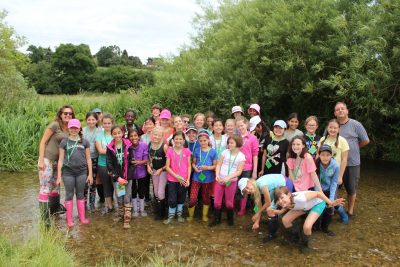
‘On Friday 23rd June Mr Chappory, Miss Barrett, Miss Westley and I accompanied Upper IIA and Upper II Alpha to the river Chess in Amersham. It was the first time Upper II had experienced how to participate in GCSE-style field work techniques and was good preparation for senior school. We were investigating how a river changes from its source to its mouth. The students made predictions before we left school; would the river become wider or narrower between the source and its mouth? Would the river become deeper or shallower? Would the velocity speed up or slow down?!
To investigate whether or not our predictions were right the students were split into four groups, and conducted four field work techniques:
- Field sketching: As Geographers, Geography field sketching is very important to see visually how two river sites change. The students spent ten minutes sketching the river itself (and its surroundings) and then labelled with key terms what they saw.
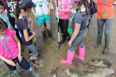
Then it was time to get our wellies on (including the teachers) and get into the river itself!
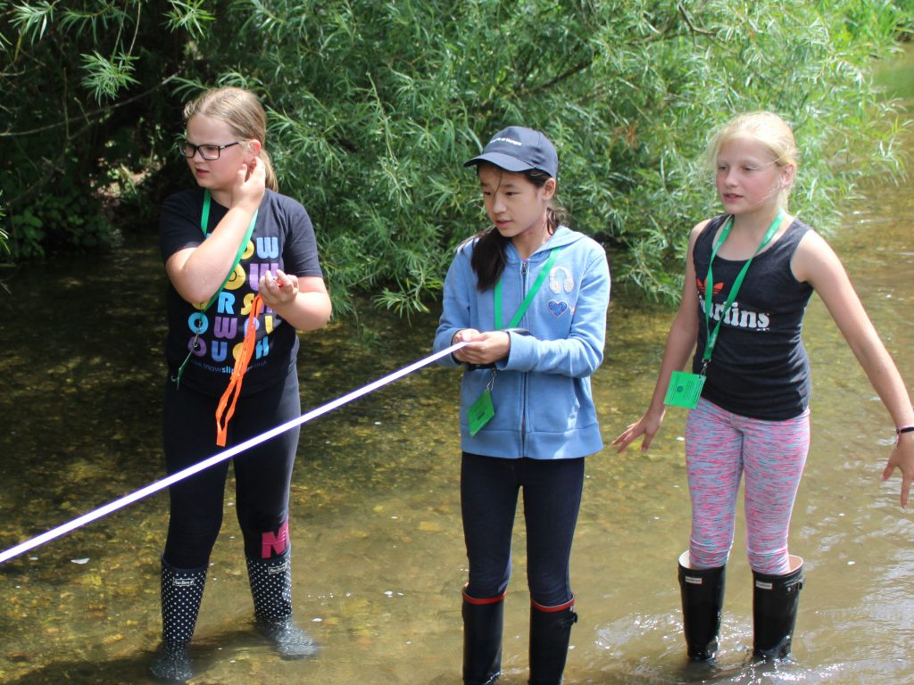
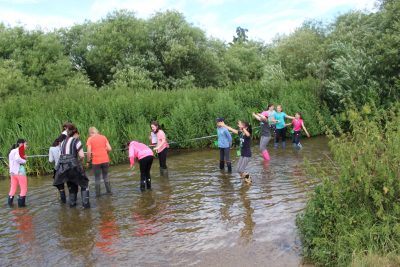
- Measuring the width of the river: two students held the metre measuring tape parallel to each other so they were standing at opposite banks. The measurement they took down (in metres) was the river’s width from side to side.
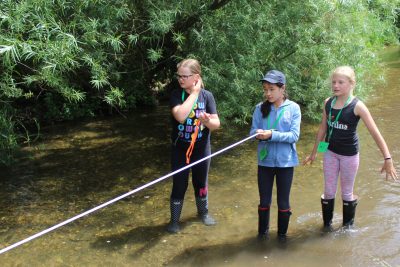
3. Measuring the depth: Holding the measuring tape on either side (as mentioned above), the students had to hold a metre stick in the water and measure across at five metre intervals – recording the depth as they went along.
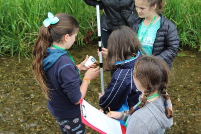
4. Measuring the velocity: We conducted two separate experiments for this task.
a) We used our brand new flow metres (kindly given to us by the Parents’ Committee) to record the speed of flow within the water at the inner bend (meander) and the outside bend (meander) of the river.
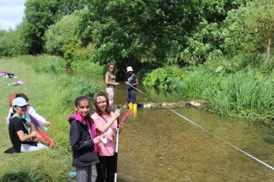
b) The old fashioned technique: two students held the measuring tape at a twenty metre interval. We then timed how long a tangerine (because of their buoyancy!) took to travel from one end of the metre tape to the other end. We repeated this experiment three times (to make it a fair test) and then took an average from the speed to give us an overall flow of velocity.
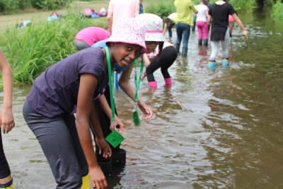
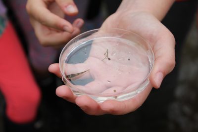
We completed all experiments at site two and, after enjoying a tasty picnic lunch, we recorded all of our results in our geography river booklets. At the end of the day we spent the last twenty minutes catching (sustainably) and verifying ecosystems and organisms which live in the river itself. We were even so lucky as to catch a fish. We finally managed to persuade Mr Chappory not to eat it for his Friday evening dinner and let the fish go!
This week in class we have been making fieldwork booklets of our findings, analysing our results, confirming whether or not our predictions were true and presenting our results in graphs. Thank you to all staff who assisted on this field trip, the Parents’ Committee for our new fieldwork equipment and to Upper II for being such brilliant Geographers on the day!’
Categories: Junior Whole School